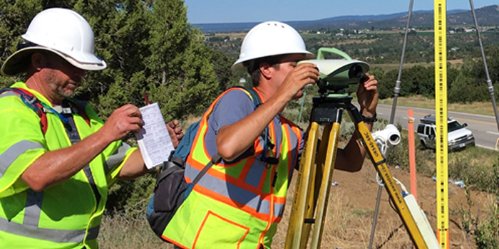
Mitank Enterprise Private Limited has an experienced and dedicated team of professional surveyors that can undertake the necessary work to design, observe, and establish geodetic systems and infrastructure needed to form the basis of land development and management.
This includes pre-analysis and design, triangulation, installation of survey monuments, and set up of GPS based control stations.

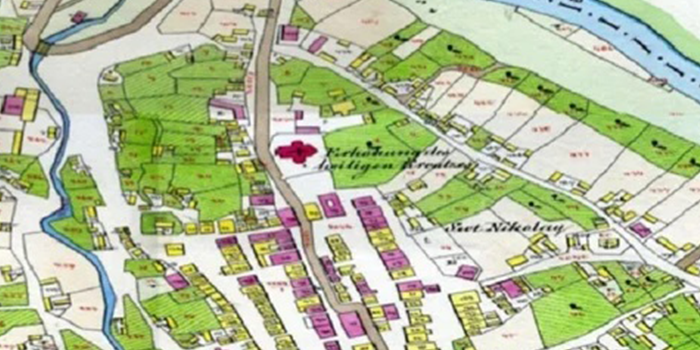
Mitank Enterprise Private Limited has undertaken many cadastral mapping projects for legal boundary surveys for the Government of India. This includes consultation and boundary determination expertise.
Mitank Enterprise Private Limited’s team has mastered the process. We has developed the process and procedures in finding the old survey while being cognizant of the legal description of the land and the many conflicts which may affect it. This involves not only knowledge but skills in research and investigation.

We on any engineering project of high importance of our Client relationship in the planning, design, and construction of civil works. Mitank Enterprise Private Limited provides quality engineering services.
We have the latest digital surveying instruments and technologies, our mapping & data processing experts rely on CAD, GIS, in the processing and analysis of field data.

Mitank Enterprise Private Limited offers end-to-end services for topographic mapping. We have qualified and experienced geomatics experts who ensures that our clients receive the best in aerial surveying. With experience over years our team of experts can assist in planning.

